Similar Sites to:
nextgis.com
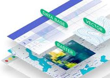
A suite of cloud-based GIS solutions, including web mapping, data management, and mobile apps.
Monthly Visits
79K
Global Rank
#463,417
Related Mobile Apps


Related Mobile Apps
Similar Sites to nextgis.com
Statistics

arcgis.com
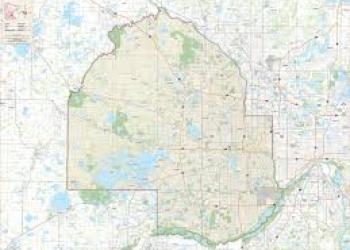
ArcGIS.com is a powerful Geographic Information System (GIS) platform for creating maps, analyzing spatial data, and visualizing geographic information.
90%Similarity


mapinfo.com
A commercial GIS software offering advanced functionalities for professional users.
89%Similarity
geospatial.com
A commercial GIS platform focused on infrastructure management for utilities and engineering companies.
88%Similarity
udig.github.io
An open-source GIS desktop application, offering basic functionalities for working with spatial data.
87%Similarity

carto.com
A cloud-based platform offering data visualization tools and map creation functionalities with a focus on business intelligence.
87%Similarity
mapbox.com
A cloud-based platform for creating custom maps and integrating location data into web and mobile applications.
86%Similarity

gvsig.com
Free and open-source GIS platform with functionalities for creating maps, analyzing spatial data, and managing geospatial information.
84%Similarity

esri.com
Esri (Environmental Systems Research Institute) is a company specializing in geographic information system (GIS) software and spatial analytics.
82%Similarity

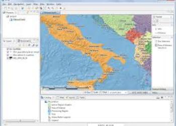
grass.osgeo.org
GRASS GIS (Geographic Resources Analysis Support System) is an open-source GIS software providing powerful raster, vector, and geospatial processing capabilities.
81%Similarity
arcgis.com
ArcGIS.com is a powerful Geographic Information System (GIS) platform for creating maps, analyzing spatial data, and visualizing geographic information.
90%Similarity
mapinfo.com
A commercial GIS software offering advanced functionalities for professional users.
89%Similarity
geospatial.com
A commercial GIS platform focused on infrastructure management for utilities and engineering companies.
88%Similarity
udig.github.io
An open-source GIS desktop application, offering basic functionalities for working with spatial data.
87%Similarity
carto.com
A cloud-based platform offering data visualization tools and map creation functionalities with a focus on business intelligence.
87%Similarity
mapbox.com
A cloud-based platform for creating custom maps and integrating location data into web and mobile applications.
86%Similarity
gvsig.com
Free and open-source GIS platform with functionalities for creating maps, analyzing spatial data, and managing geospatial information.
84%Similarity
esri.com
Esri (Environmental Systems Research Institute) is a company specializing in geographic information system (GIS) software and spatial analytics.
82%Similarity
grass.osgeo.org
GRASS GIS (Geographic Resources Analysis Support System) is an open-source GIS software providing powerful raster, vector, and geospatial processing capabilities.
81%Similarity
What do people say about us?

William
Modified 11-May-24
William
Modified 11-May-24
Finally, a one-stop destination for finding alternatives to my favorite websites!

Eleanor
Modified 11-May-24
Eleanor
Modified 11-May-24
I'm impressed by the user-friendly interface and the wealth of information available at my fingertips.

Ava
Modified 11-May-24
Ava
Modified 11-May-24
Kudos to the team for creating such a valuable resource for users like me. I appreciate the dedication to accuracy and transparency in every review.